Kentucky State Map and Outline
Printable Kentucky State Map and Outline can be download in PNG, JPEG and PDF formats.
The US State Word Cloud for Kentucky

Brief Description of Kentucky Map Collections
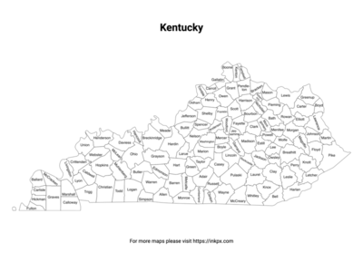
Kentucky County with label: Kentucky county outline map with county name labels. This map shows the county boundaries and names of the state of Kentucky. There are 120 counties in the state of Kentucky.
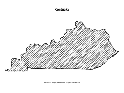
Hand Sketch Kentucky: Enjoy this unique, printable hand-sketched representation of the Kentucky state, ideal for personalizing your home decor, creating artistic projects, or sharing with loved ones as a thoughtful gift.
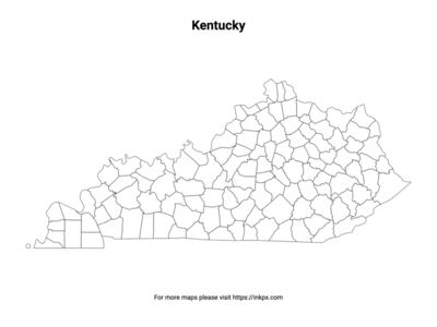
Kentucky State with County Outline: An outline map of Kentucky counties without names, suitable as a coloring page or for teaching. This map shows the county boundaries of the state of Kentucky.
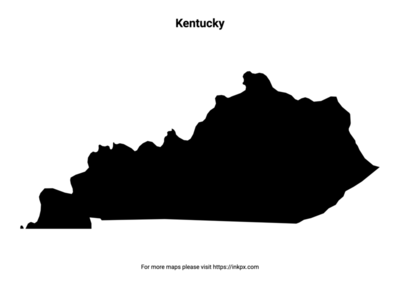
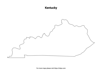
Kentucky State Outline: An outline map of the state of Kentucky suitable as a coloring page or for teaching. This map shows the shape and boundaries of the state of Kentucky.
Map of Kentucky Pattern: An patterned outline map of the state of Kentucky suitable for craft projects. This map shows the stylized shape and boundaries of the state of Kentucky.
Kentucky Names in Various Languages
| Language | Name | Language | Name |
|---|---|---|---|
| Arabic (العربية) | كنتاكي | Japanese (日本語) | ケンタッキー州 |
| Bengali (বাংলা) | কেন্টাকি | Korean (한국어) | 켄터키 |
| Chinese (中文) | 肯塔基州 | Persian (فارسی) | کنتاکی |
| Dutch (Nederlands) | Kentucky | Polish (Polski) | Kentucky |
| English (English) | Kentucky | Portuguese (Português) | Kentucky |
| French (Français) | Kentucky | Russian (Русский) | Кентукки |
| German (Deutsch) | Kentucky | Spanish (Español) | Kentucky |
| Greek (Ελληνικά) | Κεντάκι | Swedish (Svenska) | Kentucky |
| Hebrew (עברית) | קנטקי | Traditional Chinese (繁體中文) | 肯塔基州 |
| Hindi (हिन्दी) | केन्टकी | Turkish (Türkçe) | Kentucky |
| Hungarian (Magyar) | Kentucky | Ukrainian (Українська) | Кентуккі |
| Indonesian (Bahasa Indonesia) | Kentucky | Urdu (اردو) | کینٹکی |
| Italian (Italiano) | Kentucky | Vietnamese (Tiếng Việt) | Kentucky |