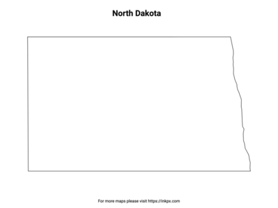
North Dakota State Map and Outline
Printable North Dakota State Map and Outline can be download in PNG, JPEG and PDF formats.
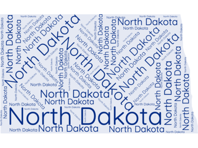
The US State Word Cloud for North Dakota
Brief Description of North Dakota Map Collections
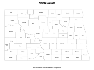
North Dakota County with label: North Dakota county outline map with county name labels. This map shows the county boundaries and names of the state of North Dakota. There are 53 counties in the state of North Dakota .
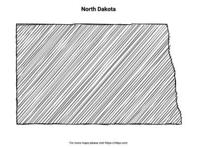
Hand Sketch North Dakota: Enjoy this unique, printable hand-sketched representation of the North Dakota state, ideal for personalizing your home decor, creating artistic projects, or sharing with loved ones as a thoughtful gift.
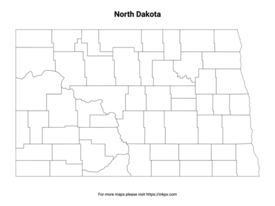
North Dakota State with County Outline: An outline map of North Dakota counties without names, suitable as a coloring page or for teaching. This map shows the county boundaries of the state of North Dakota.
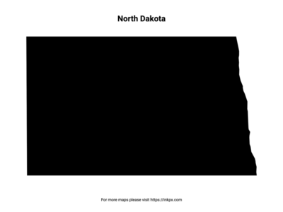
North Dakota State Outline: An outline map of the state of North Dakota suitable as a coloring page or for teaching. This map shows the shape and boundaries of the state of North Dakota.
Map of North Dakota Pattern: An patterned outline map of the state of North Dakota suitable for craft projects. This map shows the stylized shape and boundaries of the state of North Dakota.
North Dakota Names in Various Languages
| Language | Name | Language | Name |
|---|---|---|---|
| Arabic (العربية) | داكوتا الشمالية | Japanese (日本語) | ノースダコタ州 |
| Bengali (বাংলা) | নর্থ ডাকোটা | Korean (한국어) | 노스다코타 |
| Chinese (中文) | 北达科他州 | Persian (فارسی) | داکوتای شمالی |
| Dutch (Nederlands) | Noord-Dakota | Polish (Polski) | Dakota Północna |
| English (English) | North Dakota | Portuguese (Português) | Dakota do Norte |
| French (Français) | Dakota du Nord | Russian (Русский) | Северная Дакота |
| German (Deutsch) | North Dakota | Spanish (Español) | Dakota del Norte |
| Greek (Ελληνικά) | Βόρεια Ντακότα | Swedish (Svenska) | North Dakota |
| Hebrew (עברית) | דקוטה הצפונית | Traditional Chinese (繁體中文) | 北達科他州 |
| Hindi (हिन्दी) | उत्तर डेकोटा | Turkish (Türkçe) | Kuzey Dakota |
| Hungarian (Magyar) | Észak-Dakota | Ukrainian (Українська) | Північна Дакота |
| Indonesian (Bahasa Indonesia) | Dakota Utara | Urdu (اردو) | شمالی ڈکوٹا |
| Italian (Italiano) | Dakota del Nord | Vietnamese (Tiếng Việt) | Bắc Dakota |