North Carolina State Map and Outline
Printable North Carolina State Map and Outline can be download in PNG, JPEG and PDF formats.
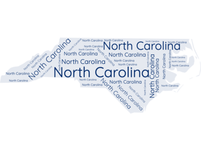
The US State Word Cloud for North Carolina
Brief Description of North Carolina Map Collections
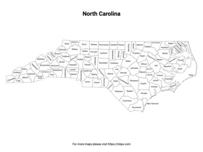
North Carolina County with label: North Carolina county outline map with county name labels. This map shows the county boundaries and names of the state of North Carolina. There are 100 counties in the state of North Carolina .
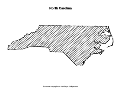
Hand Sketch North Carolina: Enjoy this unique, printable hand-sketched representation of the North Carolina state, ideal for personalizing your home decor, creating artistic projects, or sharing with loved ones as a thoughtful gift.
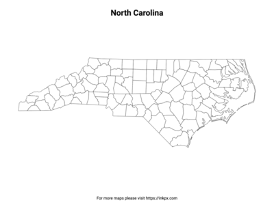
North Carolina State with County Outline: An outline map of North Carolina counties without names, suitable as a coloring page or for teaching. This map shows the county boundaries of the state of North Carolina.
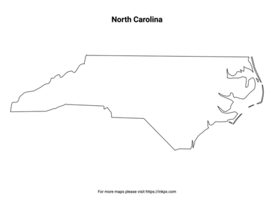
North Carolina State Outline: An outline map of the state of North Carolina suitable as a coloring page or for teaching. This map shows the shape and boundaries of the state of North Carolina.
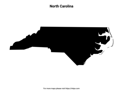
Map of North Carolina Pattern: An patterned outline map of the state of North Carolina suitable for craft projects. This map shows the stylized shape and boundaries of the state of North Carolina.
North Carolina Names in Various Languages
| Language | Name | Language | Name |
|---|---|---|---|
| Arabic (العربية) | كارولاينا الشمالية | Japanese (日本語) | ノースカロライナ州 |
| Bengali (বাংলা) | নর্থ ক্যারোলাইনা | Korean (한국어) | 노스캐롤라이나 |
| Chinese (中文) | 北卡罗来纳州 | Persian (فارسی) | کارولینای شمالی |
| Dutch (Nederlands) | North Carolina | Polish (Polski) | Karolina Północna |
| English (English) | North Carolina | Portuguese (Português) | Carolina do Norte |
| French (Français) | Caroline du Nord | Russian (Русский) | Северная Каролина |
| German (Deutsch) | North Carolina | Spanish (Español) | Carolina del Norte |
| Greek (Ελληνικά) | Βόρεια Καρολίνα | Swedish (Svenska) | North Carolina |
| Hebrew (עברית) | קרוליינה הצפונית | Traditional Chinese (繁體中文) | 北卡羅萊納州 |
| Hindi (हिन्दी) | उत्तरी केरोलिना | Turkish (Türkçe) | Kuzey Karolina |
| Hungarian (Magyar) | Észak-Karolina | Ukrainian (Українська) | Північна Кароліна |
| Indonesian (Bahasa Indonesia) | Carolina Utara | Urdu (اردو) | شمالی کیرولینا |
| Italian (Italiano) | Carolina del Nord | Vietnamese (Tiếng Việt) | Bắc Carolina |