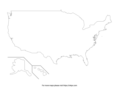
Blank US Map
Printable Blank United States Map and Outline can be downloaded in PNG, JPEG and PDF formats.


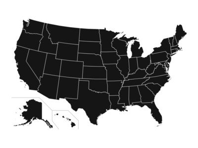
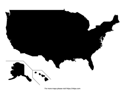
Our collection of Blank US maps includes a variety of options to meet your needs. All of our maps are available in PDF, PNG, and JPEG formats, so you can choose the format that works best for you.
- US Map State Outline with Names: A basic but helpful illustration of the United States map showing clear outlines and names of each state for students, teachers and anyone looking to build or reinforce their knowledge of American geography in an easy-to-read visual format.
- Blank US Map with State Abbreviation: The map of the 50 states showing the precise outline of each state and marking them with their standard U.S. Postal Service two letter abbreviations in an easy-to-read style to provide a visual reference for those wishing to improve their knowledge of American state abbreviations.
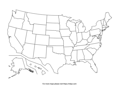
- Blank US Map with State Outline: A clear and simple black line map of the United States showing just the outlines of each state for teachers, students and children using as a coloring page or learning aid.
What Blank USA Maps are Used For
Teaching and learning geography and the US states: Maps provide a visual aid to help students understand the location of states, their shapes and boundaries. Students can label state names, borders and other features to reinforce learning.
Coloring pages for kids: Simple outline maps of the US are perfect for kids to color. This can help children learn the outlines and locations of states in an engaging, visual way while developing fine motor skills.
Craft projects: US maps can be used as the base for many craft ideas like model making with clay, decoupage and papier mache projects. Children can make three-dimensional maps to further enhance their spatial understanding.
Who May Want to Use USA Maps
Teachers: Teachers can incorporate US maps into lesson plans at all grade levels to visually support geography lessons.
Students: Students of all ages can use US maps as a study aid to learn and memorize state locations and information.
Parents: Parents can print outline US maps for kids to use as coloring pages or craft templates. They can also use maps to involve children in planning family trips and vacations.